Maps
Emergency Map (LIVE)

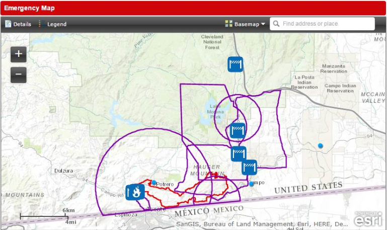
Emergency Public Information provided in an interactive web map. This live map includes a combination of information on National Weather Service alerts and data gathered by the County of San Diego for local hazards, fire perimeters, emergency notification areas, evacuation centers, evacuation routes and traffic control points.
 Emergency Map
Preparedness Map - Know Your Hazards Tool

The Know Your Hazards Tool helps you discover the hazards in your area. Learn about wildfire, earthquake, flood and tsunami hazards and explore resources to help you be prepared.
